Europe’s oldest rocks?
Geology nugget
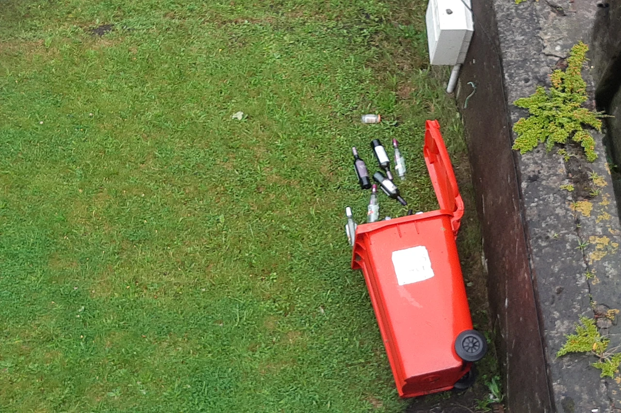
People give out a lot about these Atlantic low pressure storms. Not because of the storms, but because of the forecasts of the storms.
The truth is that nature is very messy, though today’s forecast models are efficient at anticipating these events well in advance. Some of these storms are predicted days before they form. But it’s the turbulent variations at smaller scales that are extremely hard or impossible to predict.
Turbulence is chaos, and not-yet-to-be chaos is hard to map out. Hence people still leave their bins exposed even when a red/orange warning storm is about.
Storm Ellen hit Ireland on the 18th of August 2020 and brought along the highest August wind speeds recorded in the country.
References:
https://www.met.ie/ cms/assets/uploads/2020/08/StormEllen-003.pdf

Thomas Heising here!
I’m originally from Denmark, but now living in Cork, Ireland and working with visual science communication. You may have found this post because you were curious about this page or wanted to know more about the topic at hand – in any case: welcome.
There are more writings, visuals and videos around here about geology, the weather, our planet, Ireland, Denmark and other things that interest me.