Back to the Lab
Cloud school
2026 | Cork, Ireland

Anatomy of an Irish thunderstorm

The end of May saw an unseasonably warm heatwave. Weather records were broken with the 25th and later the 26th hosting the warmest May days ever recorded in Ireland peaking at 30.9°C.
 
But let’s not talk about climate change here!
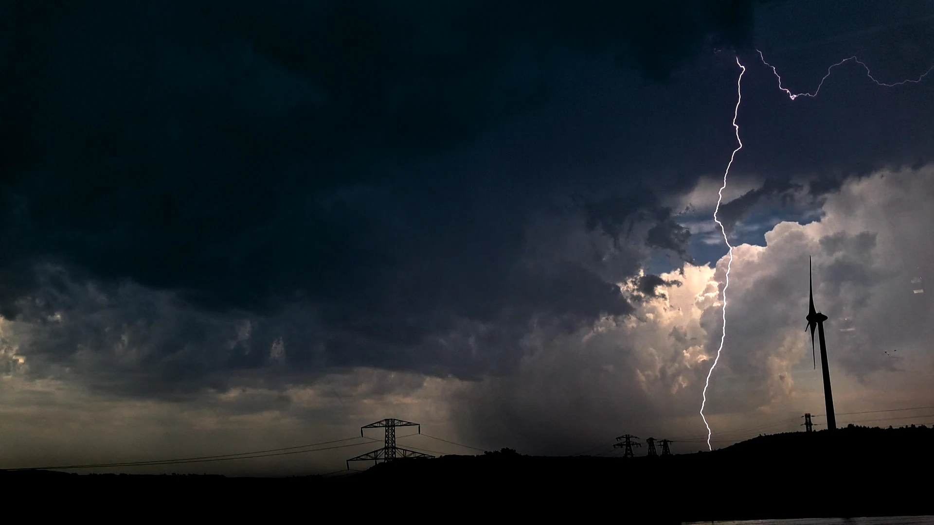
Cloud to ground lightning over cork May 17th
Photogenic cloud-to-ground lightning bolt four kilometres south of Ringaskiddy. Snapped with a smartphone.
I’ve previously done a few posts on Cork’s past two-day-thunderstorm seasons. Every year, at some point between the end of May and the start of June, there’s enough surface heat, instability and moisture in the Irish atmosphere for air to start rushing upwards explosively. But rarely more than for a day or two.
 
This process can create thunderstorms, a rare weather phenomenon in Ireland compared to other parts of our planet.
 
However, this Corkonian thunderstorm from the 27th of May 2026 is one of the most spectacular I’ve been under.
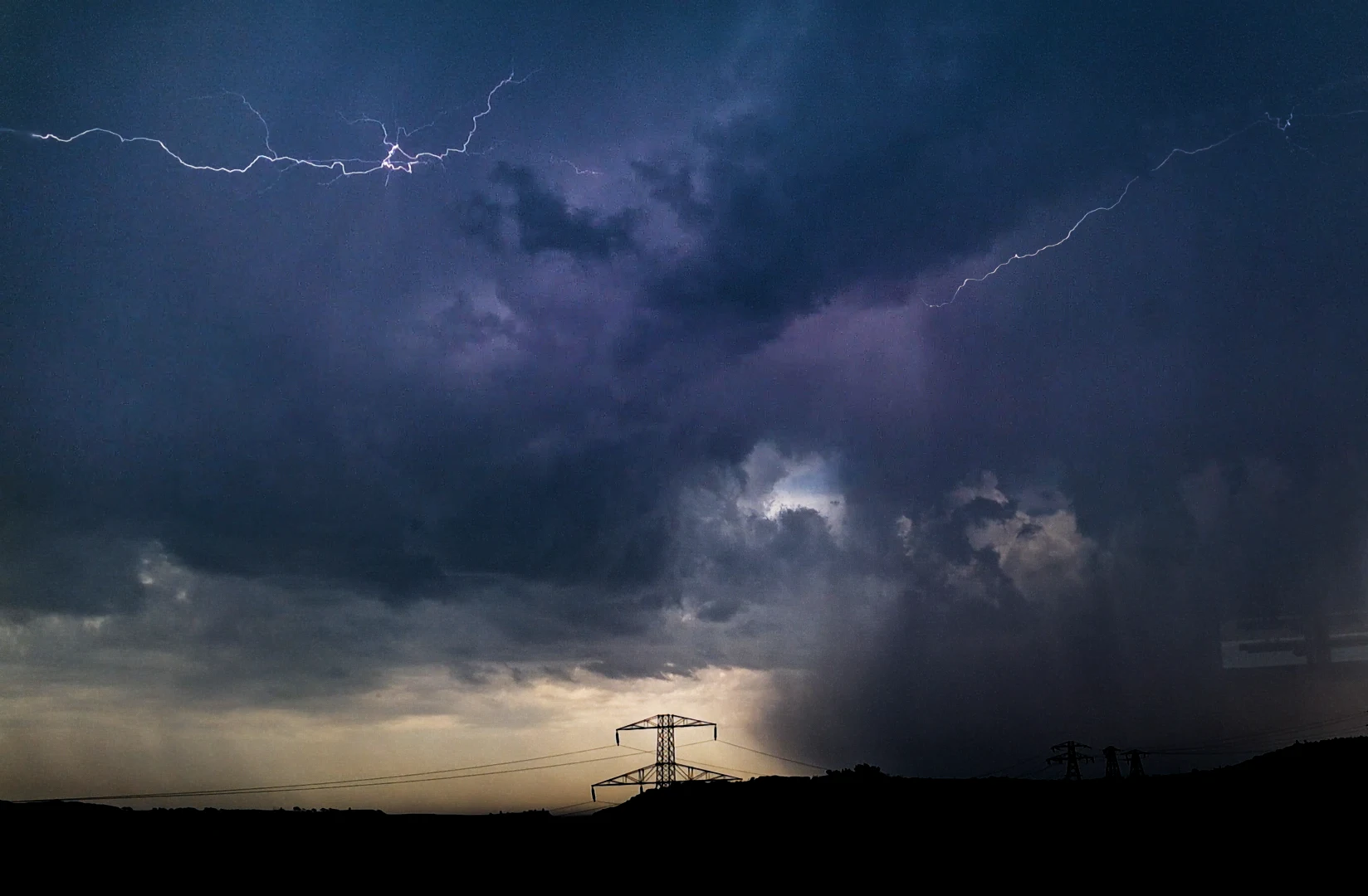
Thunderstorm lightning over cork May 17th

Cloud-to-air and cloud-to-cloud lightning bolts above Crosshaven. Snapped with a smartphone.
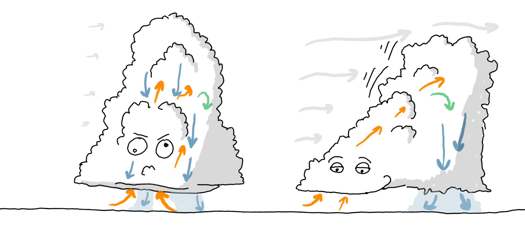
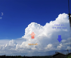
A lot of thunderstorms don’t survive themselves. As the air travels upwards, it cools and falls again. That means that the falling air will choke or block the upwards-travelling air.
 
It’s like having sea anemones trying to eat and defecate at the same time. There’s obviously a conflict here, and so, we need to be able to move the upwards-travelling air sideways; getting it to fall away from where it’s rising.
 
Introducing WIND SHEAR!

Also:

I really, really hate that I have to state this, but there’s so much Generative AI-slop out there (yes, even content that pretends to be scientific). Know that I do not use AI for any of my writings, visuals nor thoughts. It’s all written and visualised by a human, meaning me, unless stated otherwise. Therefore, you can always reach out to me if there’s anything factually or grammatically incorrect.

Now, thank you for your interest in this page – I hope you enjoy it!

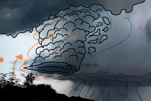
Cb eating behaviours
To left: “unhealthy” cumulonimbus conditions with little wind shear.
To the right: “healthy” cumulonimbus conditions with plenty of wind shear.
That’s one ingredient.
 
We also need it to be easy for the air to rise. Basically, a pocket of air has to fight gravity – which it can do by being lighter in density than the surrounding atmosphere. Weather amateurs and experts alike define this condition with CAPE.
 
I’ve also explained this measurement previously, but needless to say, the CAPE values from the 27th of May were unusually high for Ireland.

Narrated timelapse footage – because I couldn’t help myself.

Recording timelapses from the office was an ideal situation, and it’s handy having the smartphone at hand all the time.
 
This thunderstorm system was a cluster of a few cells – individual towers of air exploding upwards forming one huge spaceship. In pure Jurassic Park-style, ripples formed on the surface of the water mirror in my cup when the thunder rumbled.
 
Music in video licensed from audiojungle.net.

References:

https://www.met.ie/climate-statement-for-may-2026