Danish state media
Science on TV
Also:
I really, really hate that I have to state this, but there’s so much Generative AI-slop out there (yes, even content that pretends to be scientific). Know that I do not use AI for any of my writings, visuals nor thoughts. It’s all written and visualised by a human, meaning me, unless stated otherwise. Therefore, you can always reach out to me if there’s anything factually or grammatically incorrect.
Now, thank you for your interest in this page – I hope you enjoy it!
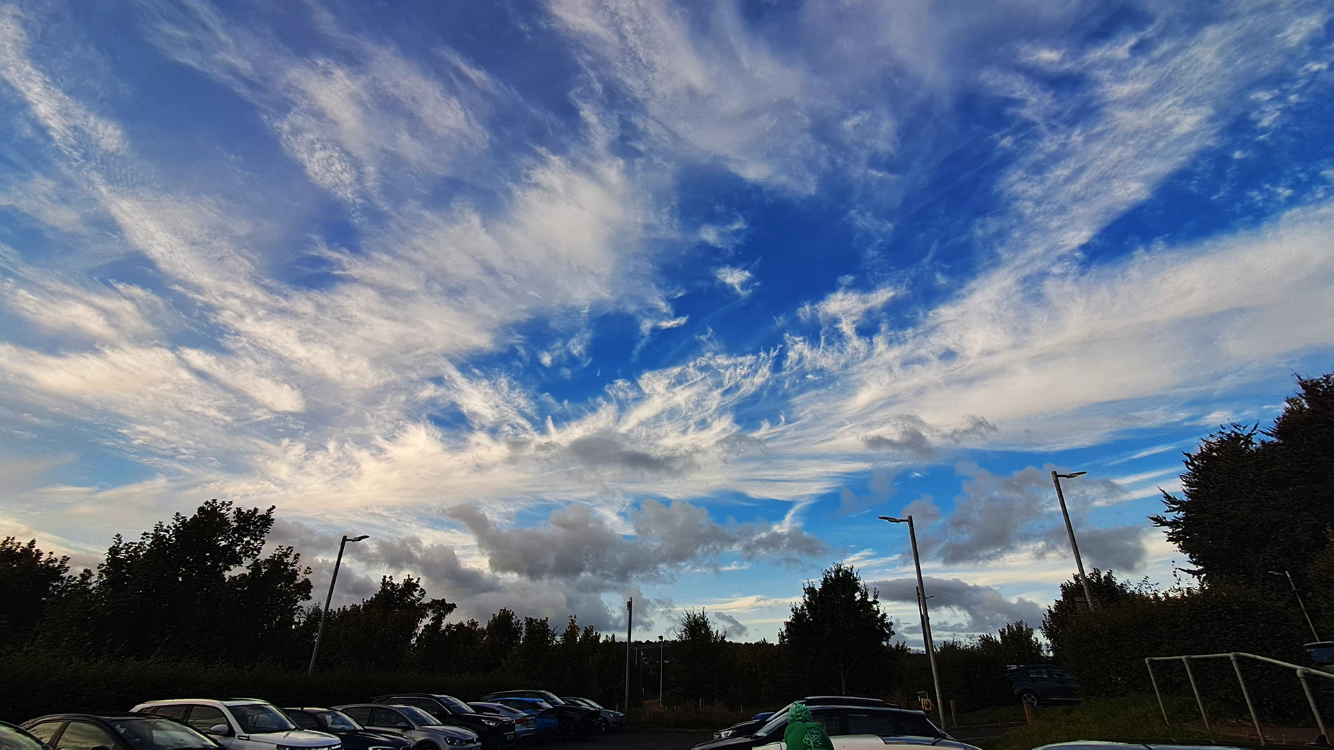
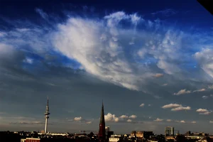
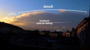
Cirrus clouds confuse me at times, and this is an example of when they really do. ‘Cirrus’ refers to feathery clouds that are at the highest altitudes that ‘normal‘ clouds can form in. They often look like white hair or fibres strewn across a blue sky. However, they may also take up the entirety of the sky spreading widely from the top of a tall raincloud or an incoming storm system.
Cirrus clouds can precede many types of weather events, depending on the type of cirrus. On this picture, there are many varieties including: cirrus uncinus, cirrus fibratus etc. etc[1].
For instance, if you experience a day of cirrus clouds slowly getting more widespread and denser on the sky until the entire sky is grey from cirrus clouds, a front or storm with wind and rain might be coming in.
References:
1. https://cloudatlas.wmo.int/en/clouds.html