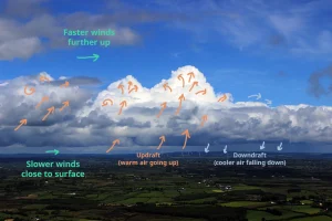
Anatomy of a cumulus cloud
Cloud school
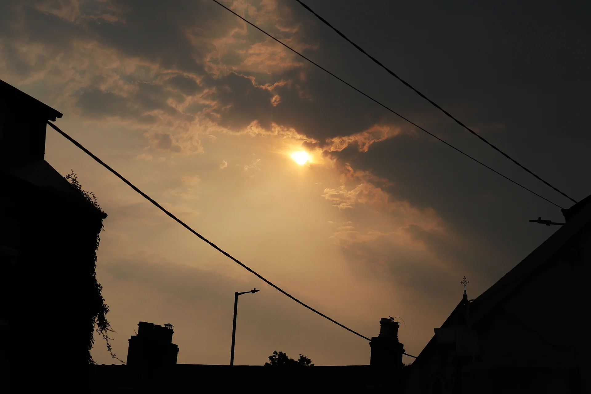
I met a few people in Cork during Saturday the 16th of August who either externally or internally had commented on the eerie ambient lighting on the day.
The reality is that loads of things were in the air. Obviously, studying a sample with incredibly expensive equipment would’ve helped deduce exactly where the aerosols crimsoning the sky came from. But satellite images and weather models can also be of assistance!
The orange tint was visibly cast on the buildings and into building interiors for several hours. This wasn’t the only effect that the aerosols had on the daily goings of Cork denizens as you’ll see further below.
So let’s look at some tools around the interwebs!
As seen in the simulation below from earth.nullschool.net of small airborne particles swirling around the planet, there were wildfire particles arriving from Newfoundland 3000 kilometres to the west across the Atlantic. Furthermore, pollution from cities across Europe also drifted through and perhaps, even sand from Sahara found its way north to Ireland!
Simulation imagery from earth.nullschool.net.
But it was particularly (pun intended!) wildfire aerosols from Spain and Portugal that might’ve triggered large thunderstorms across Munster and Leinster. In fact, there was no forecast for local atmospheric instability (and therefore, thunderstorm activity) leading up to the day.
But quite visible in the satellite video below from windy.com is the formation of cumulus clouds AND eventually thunderstorms in the middle of the wildfire plumes drifting from the Iberian peninsula.
Sequenced satellite imagery from windy.com.
A pretty and sophisticated term that is important when talking about rain and weather is condensation nuclei: Particles like soot and dust in the air aloft passing through water vapour can make waterdrops form on them.
These particles can be anything from emissions from industries, volcanic eruptions or dust blown from local areas or from across long distances. If the concentration of waterdrops formed on these particles is great enough, they may form clouds – even large ones.
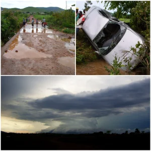
As the 16th of August went along and thunderstorms rapidly developed, weather forecasts were revised.
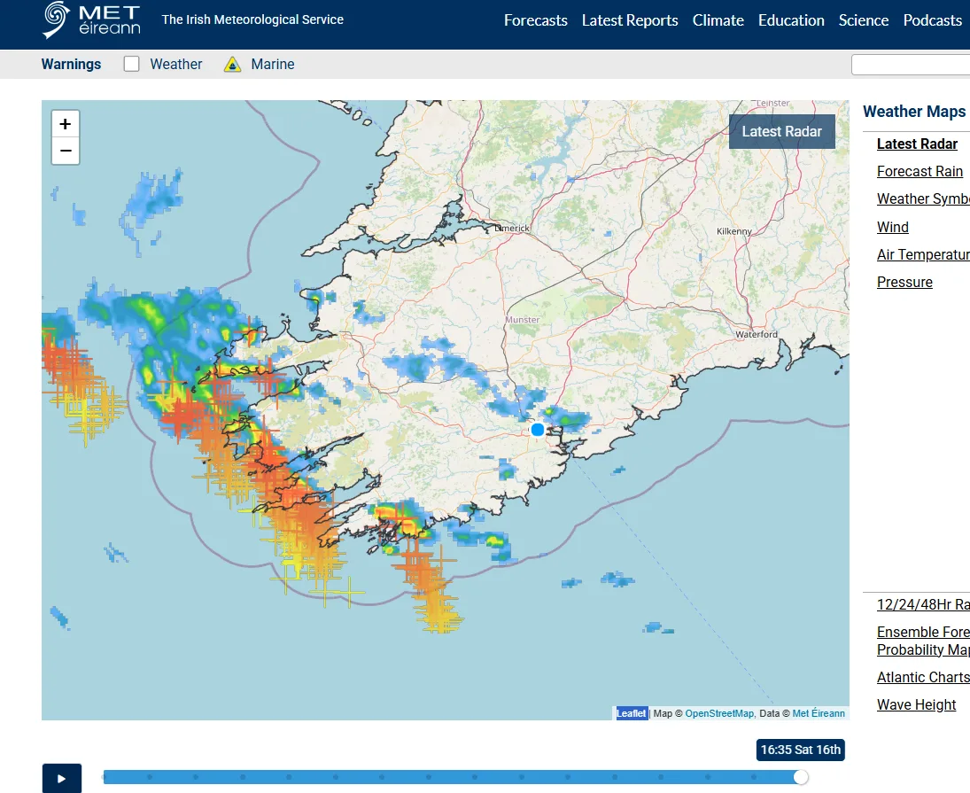
Radar image from Met Eireann.
Cork city was spared from the worst, but intense thunderstorm activity was seen on radar imagery and lightning detection maps via Met Eireann across west Cork and Kerry. These thunderstorms continued towards the northwest, eventually dying over the north Atlantic.
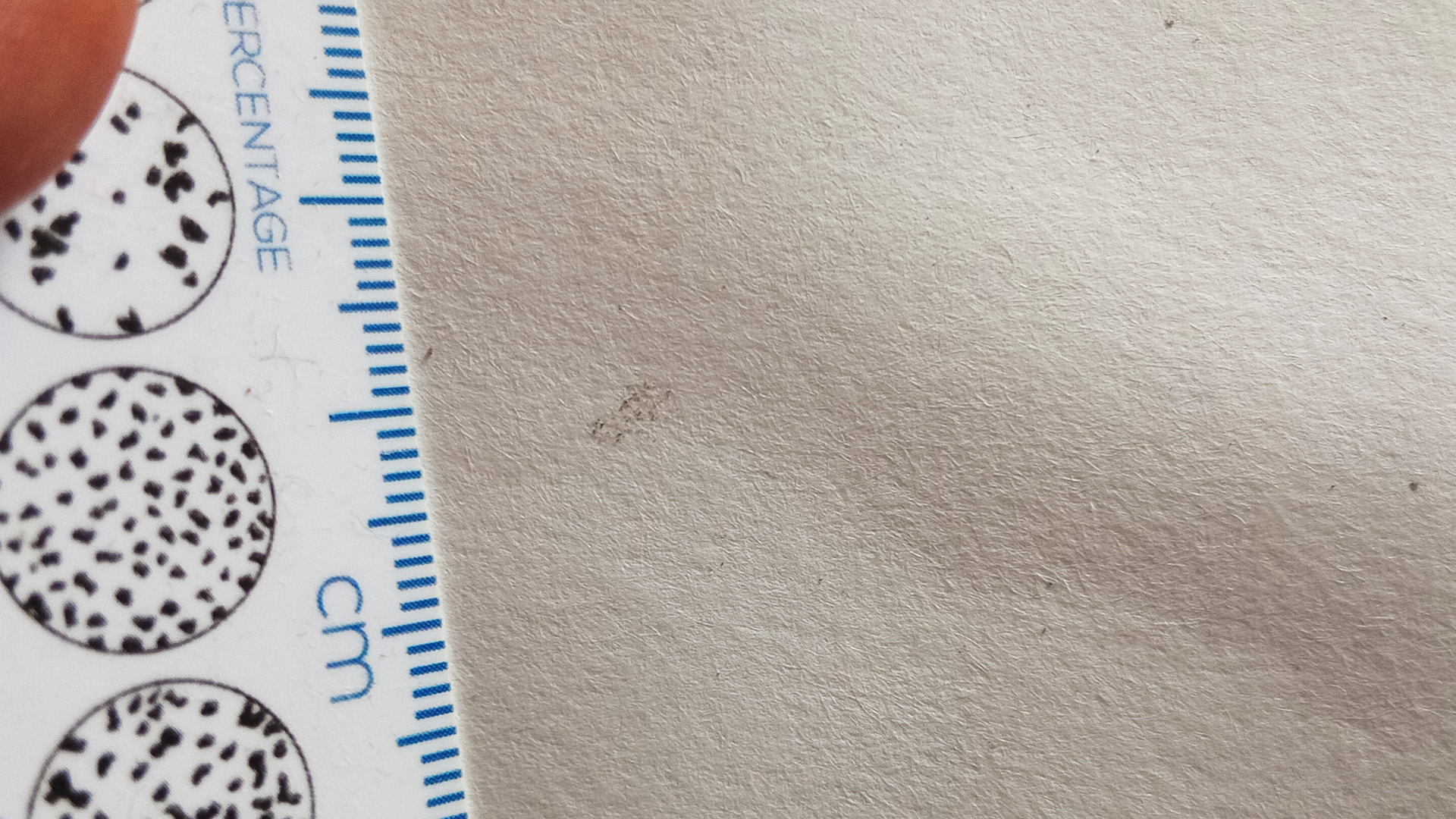
Condensation nuclei such as soot particles from wildfires are of course high up in the air. But since waterdrops form on them, they can also be brought down to the ground again through precipitation.
Again, Cork city was largely spared, so I only captured a few raindrops on a piece of paper. Left behind as the water evaporated from the paper were little dark particles.
Perhaps burnt plant material from Spain or Portugal?
Truth be told, it’s hard to nail down, there’s a lot going on:
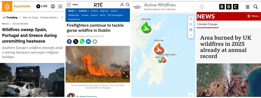
Headlines from Al Jazeera, RTÉ, NL Active Wildfire Dashboard and BBC mid-August 2025.
References: