Thomas Heising

Visual science communication
Back to the Lab

Rock tour on Valentia Island!

Geology nugget
2025 | Kerry, Ireland
Valentia Island geology tour - Thomas Heising
Thanks to John for snapping the moment where I tell everyone present that they’re “fish”!
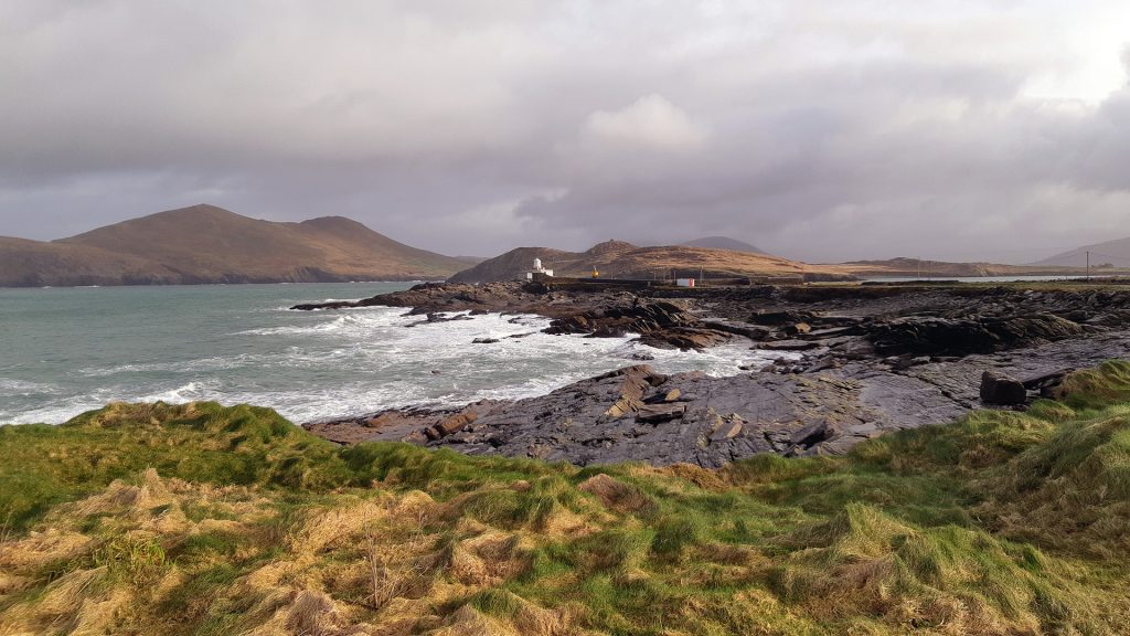
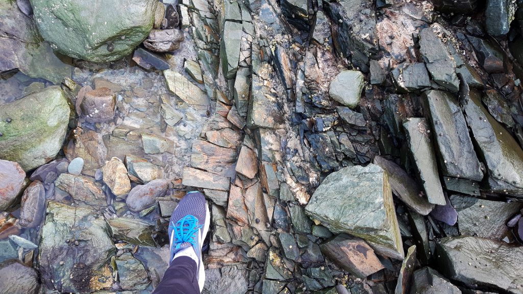
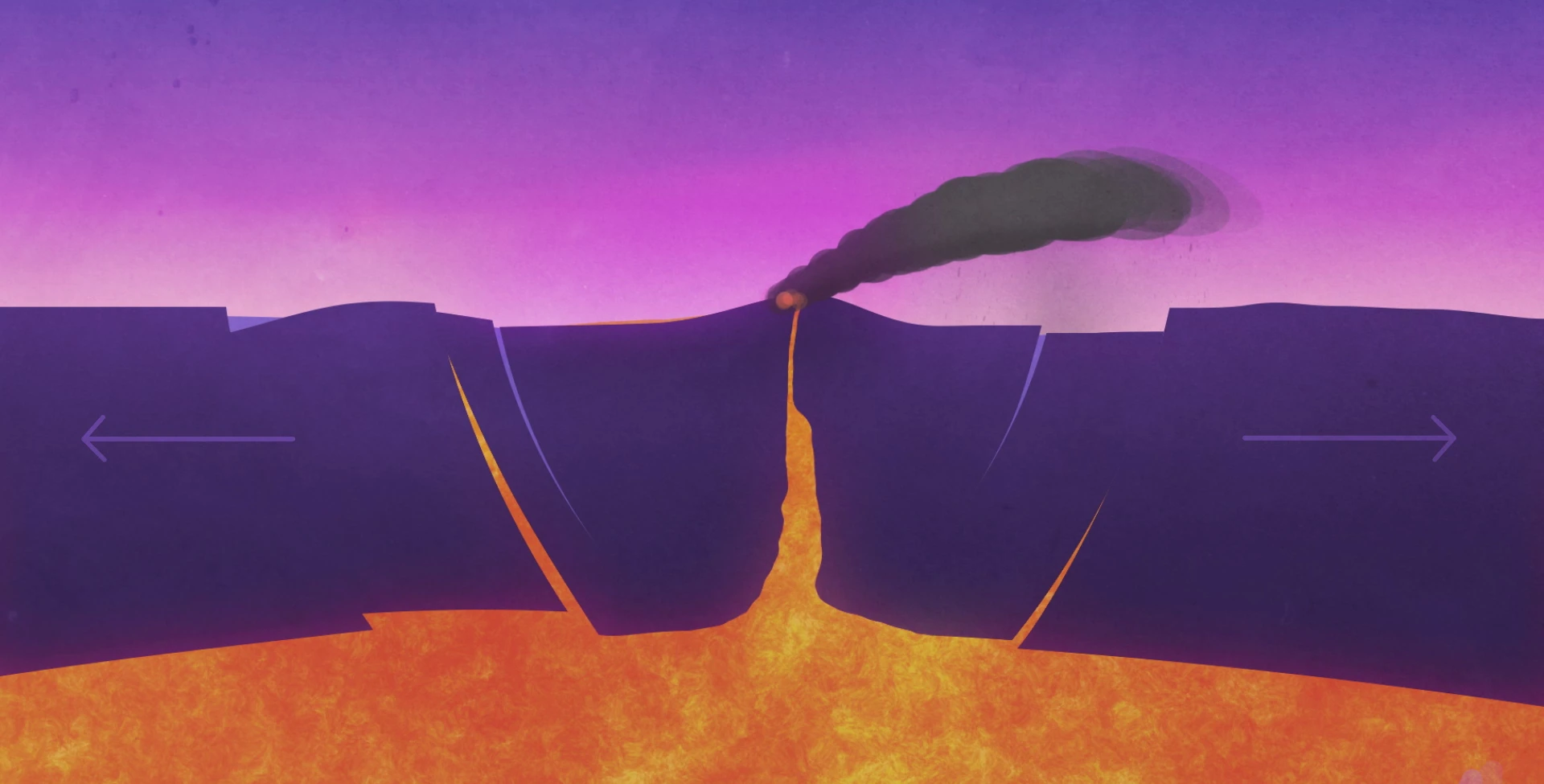
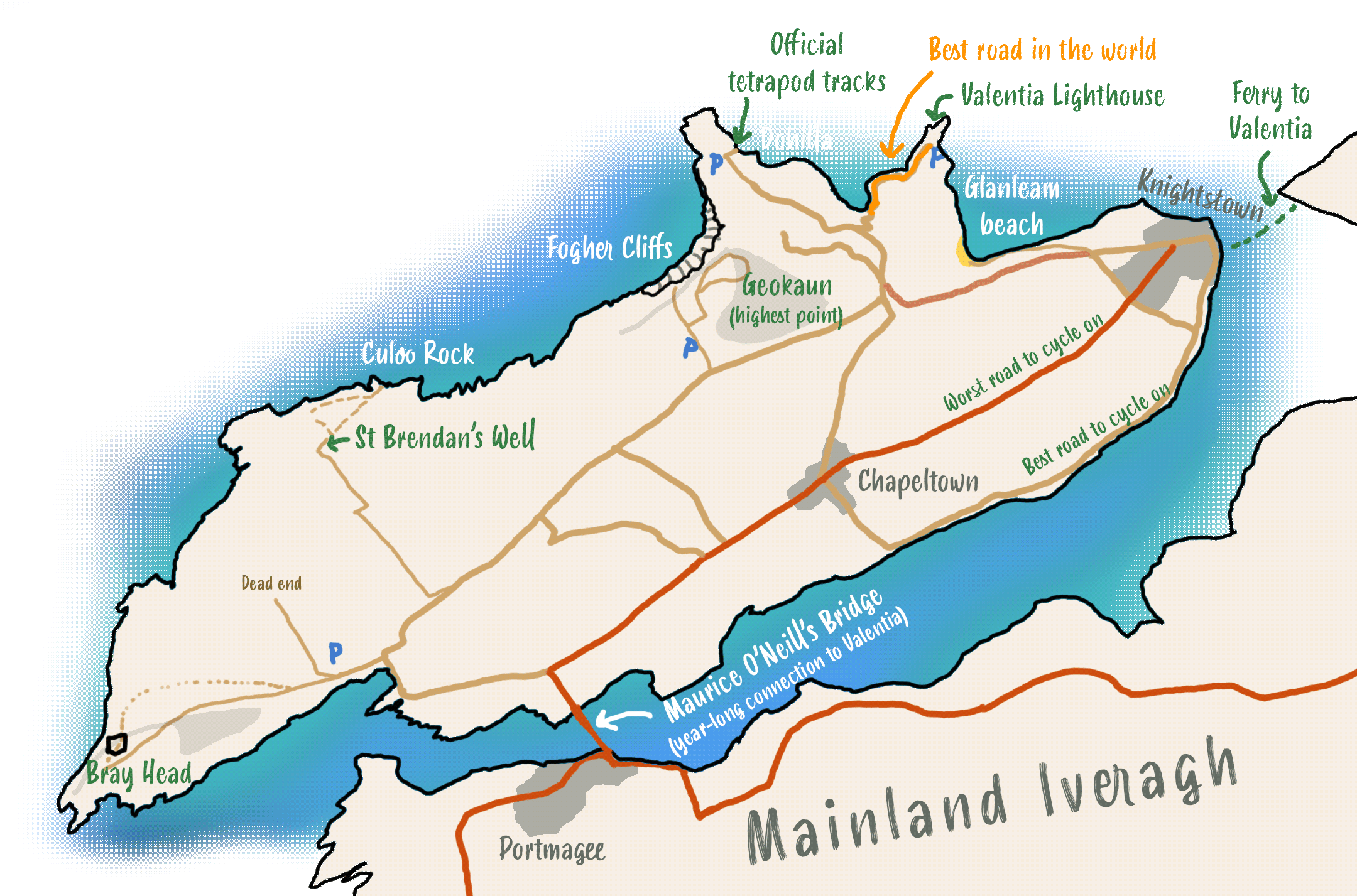
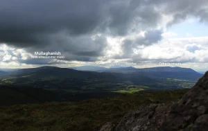
Seen from above, Valentia Island reminds me of a videogame map: sparsely populated, great lore, intuitively laid out, manageably sized area and some dramatic landscapes!
 
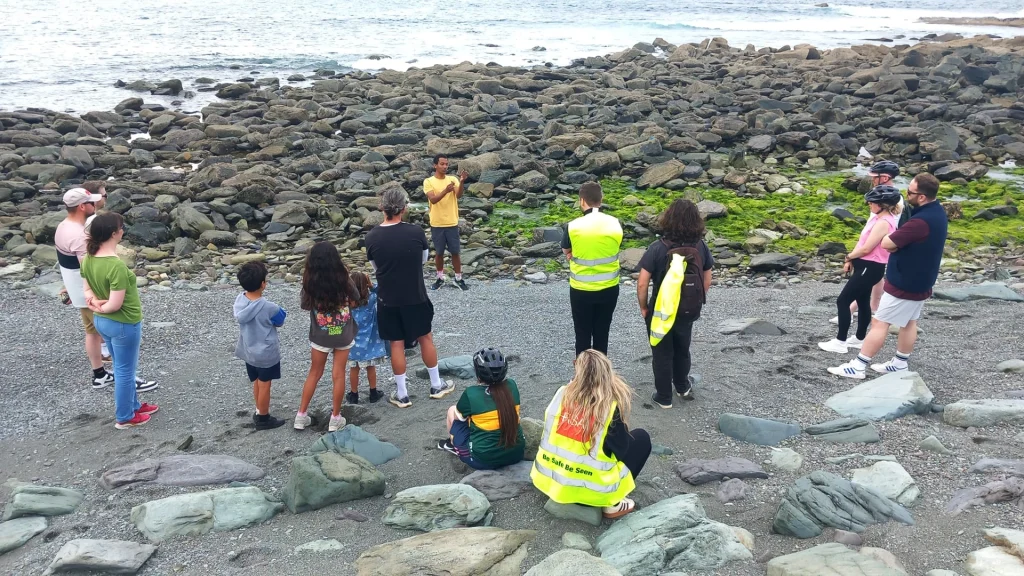
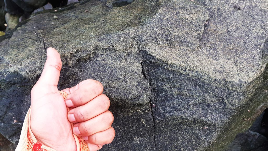
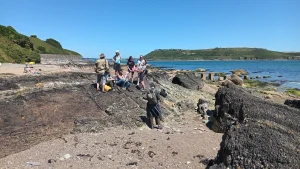
I enthusiastically returned to Valentia Island recently with a sten-group. Two friends were engaged to each other and asked me if I could do a guided tour of the rocks on the island for their pre-marital party ceremony.
 
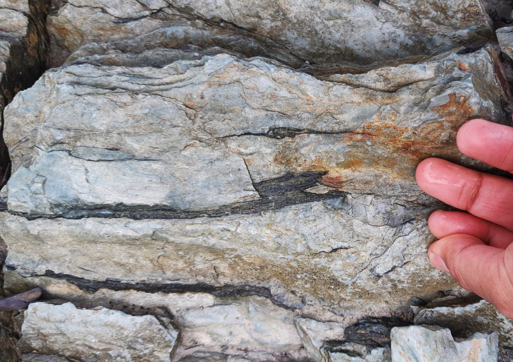
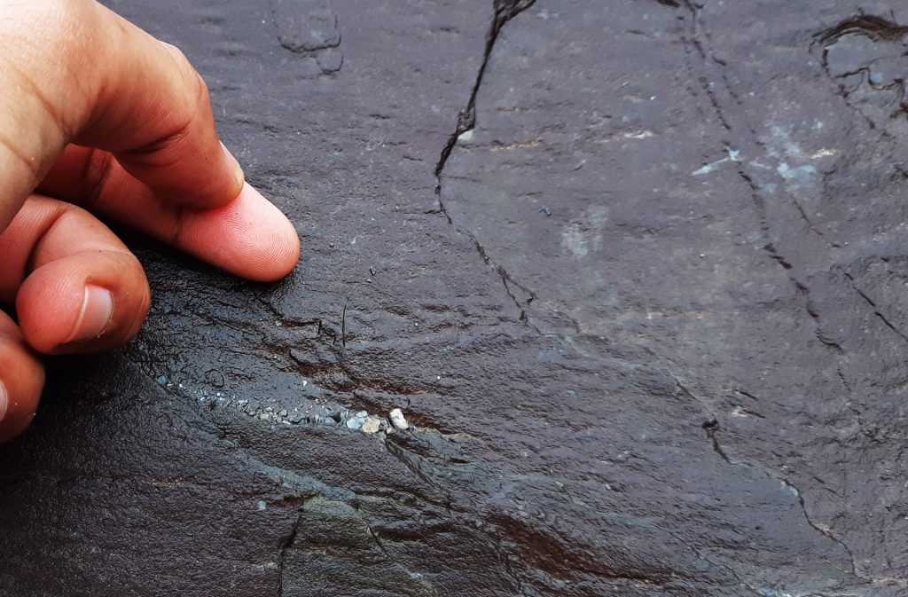
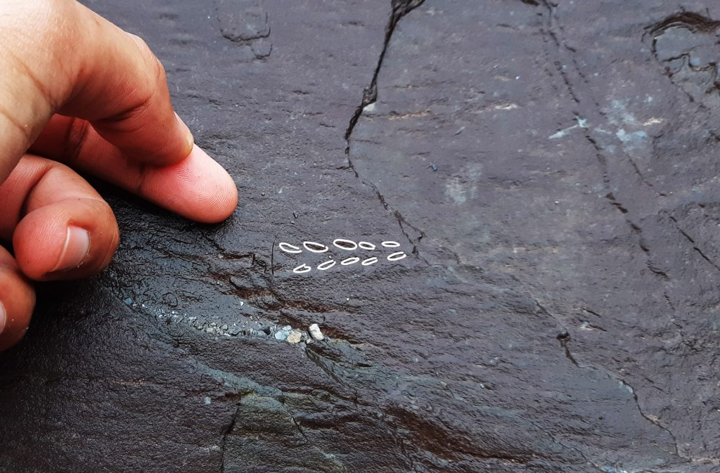
Happily, I accepted the deed, packed a handful of animal toys and planned the content based on previous visits, chats with experts, geological heritage tours in Cork city and contributions to projects on Valentia Island’s natural heritage.
 
Yes, there was drinking involved at the sten, but we also got to explore the island!
Valentia Lighthouse
The road down to the lighthouse is perhaps the coolest road I’ve been on. Like, ever.
First and foremost, the reason why I’m even aware of the following geological wonders is because of the Llŷn, Iveragh Ecomuseums and Discover Iveragh-projects. There’s a wealth of knowledge on these sites about the natural heritage, landscape, history and wildlife of both the Iveragh-peninsula and Valentia Island. I made sure to credit both projects on the tour.
 
A few years ago, I got to work on two videos for these projects illustrating and animating visuals about the natural heritage of the area. These were excellent projects to learn from and through which to ask a lot of questions about the many discoveries made over the centuries.
Iveragh during the Middle Devonian Period
Still image from the animated video on Iveragh’s geological past. The red colours were chosen to reflect the Old Red Sandstone and to show that the climate was warmer 385 million years ago when the rocks of the area came to be.
The road coming down to Valentia Lighthouse is steep, but well worth exploring. For the most part, the tetrapod footprints (1.5 km away) steal the show (for perfectly valid reasons), but if you want the full geology experience of Valentia Island, try to see if you can find some of the following geology nuggets below.
 
As you can see on Discover Iveragh’s site there are many geological wonders along this road:
  • A volcanic intrusion.
  • Footprints from little invertebrates that existed 385 million years ago (note: these are not the tetrapod footprints – we will get to those).
  • Fossils of plants that lived 385 million years ago.
  • Mudcracks from the same age.
  • Many sedimentary features showing rivers, flash floods etc.
  • Folds, faults and deformation from a time when landmasses collided.
  • Glacial sediments on top of the Old Red Sandstone.
Valentia Island - Devonian plant fossils
Near the lighthouse, you can find these beautiful fossils of early plants that grew during the Devonian Period – 385 million years ago.
A still frame from the animated video on Iveragh’s geology. I wasn’t sure on how to picture Valentia Island’s plant fossils from the Mid-Devonian. Thus, I mostly gathered references of organisms found in other Devonian fossil sites in the world.
Devonian myriapod footprintsDevonian myriapod footprints
Took me a while to find, but here’s fossilised footprints of little invertebrate animals walking in the soft sediments 385 million years ago.
Valentia island from Old Red Sandstone to volcanics
My foot marks approximately the boundary between the Old Red Sandstone and the intruding volcanic magma rocks. Both were laid at around same time in the Devonian Period.
Devonian rifting and volcanic eruption of Iveragh
Another still frame from the animated video showing a simplified version of the Earth’s crust stretching and faulting allowing magma to rise from the mantle. This is likely the process behind the volcanic rocks of Valentia Island and Iveragh.
Gabbros and basalts at Valentia Island
A closeup of the gabbroic magma rocks along the lighthouse road. You’ll see larger and coarser mineral grains in the centre of the intrusion, whereas mineral grains closer to the margin get smaller.
Map of Valentia Island - Thomas Heising
My favourite spots on the island – from me to you.

Finally, here’s the video I worked on. All illustrations and animations done by me, except the multi-legged myriapod at 1:49 that was done by budding animator Emma O’Keefe. Enjoy!

References and notes:

1. https://www.discoveriveragh.ie/

2. https://www.ecomuseumlive.eu/

3. Stössel, I., Williams E. A. & Higgs K. T., 2016. Ichnology and depositional environment of the Middle Devonian Valentia Island tetrapod trackways, south-west Ireland. Palaeogeography, Palaeoclimatology, Palaeoecology, Vol. 462, pp. 16-1490. doi: 10.1016/j.palaeo.2016.08.033.